To invest in this property now, select the “Buy Now” button above.
You can also call us at 800-401-3199 or email sales@freedomlandgroup.com
🎣 Toledo Bend Lake! Hemphill, Texas – 116 Starfish Drive – Corner Lot
Property Details:
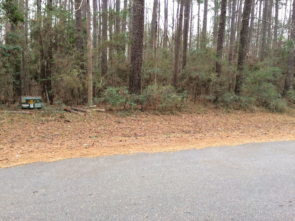
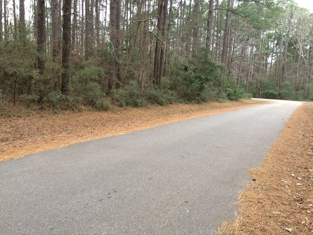
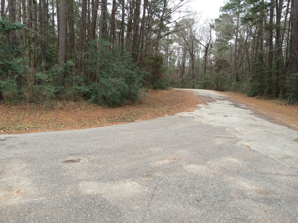
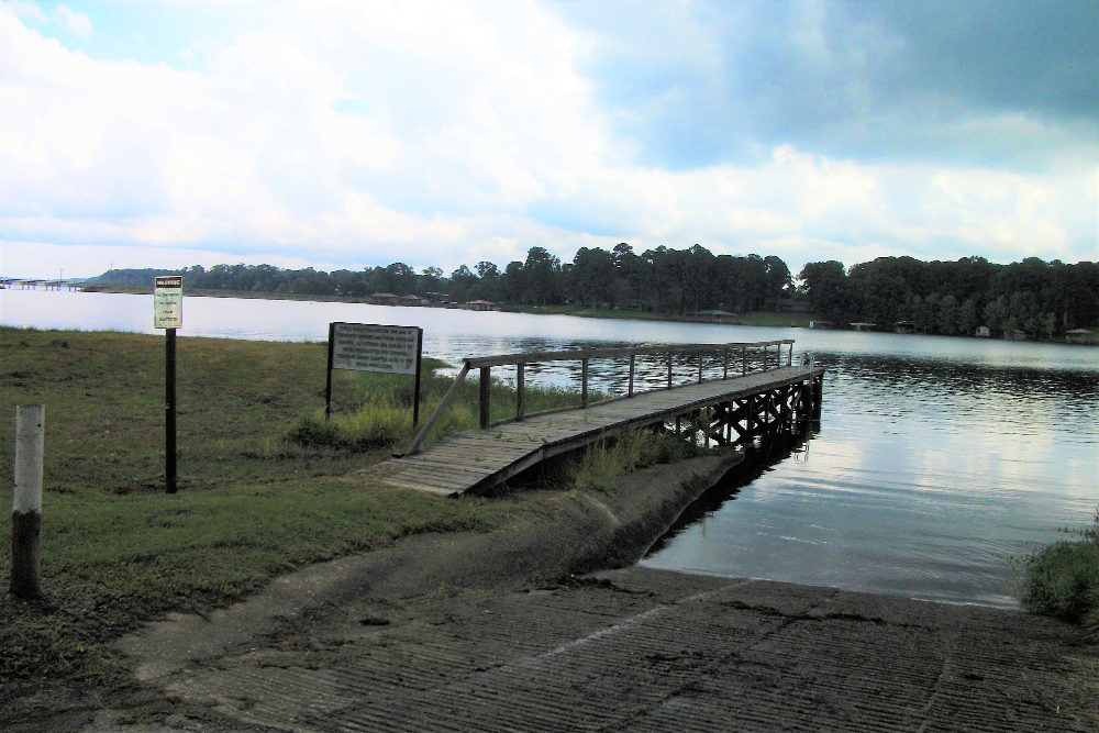
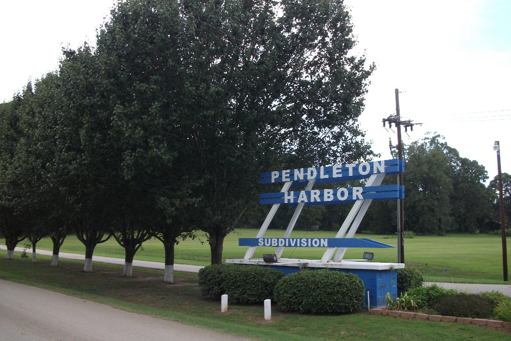
Toledo Bend’s Pendleton Harbor Subdivision is a beautiful area easily accessed just over the Pendleton Bridge. This is the perfect lot for a circle driveway from street to street around the corner. As a resident, you can use two community boat ramps for easy access to Toledo Bend Lake (.7 miles away, 3 minutes on Coastline Ct & 1.4 miles, 6 minutes to Port Drive!), a golf course, conference room and pavilion. Community water and electricity are available at the road. Site built homes with an 800 Sqft min; barndominiums allowed on this property. Whether your passion is fishing, boating, golfing or just relaxing, you can make this property your own to enjoy.
Call or email us today and see how easy and affordable owning land in Texas can be.
Address: Lot 533, Pendleton Harbor – 116 Starfish Drive, Hemphill, TX 75948 – Please note: We recently received the official 911 address assignment for this property. Some GPS services have not yet been updated with the address. Use the GPS coordinates, lot outline pictures and map link to properly locate the land.
County: Sabine County, Texas
Property ID: R000113751
Lot Size .30 Acres (12,894 sqft) – 141′ frontage on Commodore 83′ frontage on Starfish, 157′ NE to SE border, 87′ SW to SE border
Annual Property Taxes: $18.77
Zoning: Residential – Site built homes or Barndominiums with an 800 sqft min – No Mobile Homes or RV’s.
HOA Fees: $150/yr + $100 one time water connection fee
*additional costs of installing water meter & electricity will be required.
Water at the road – Pendleton Harbor Water Service Company – 936-201-7167 (www.phwsc.net)
Electric at the road – Deep East Texas Electric – 936-275-2314
Sewer – Would be by septic per the Sabine River Authority – 409 565 2273
Property Location:
Google Map Link: https://goo.gl/maps/YViMFNWZ1HMRSHrt5
GPS Coordinates: 31.469818, -93.761733
Approximate corners
31.470075, -93.761722 – NE
31.469972, -93.761947 – NW
31.469600, -93.761828 – SW
31.469672, -93.761567 – SE

